Colt State Park Map
RI DEM publishes one official map of Colt State Park, a free PDF on riparks.ri.gov. It shows the park as three picnic areas wrapped around a tidal inlet called Mill Gut: Area 1 on the west shore (picnic sites 1–19), Area 2 in the middle (sites 20–40 and 50–55, with the chapel and the park office) and Area 3 by the entrance (sites 80–84). This page explains what is on it.
The Map at a Glance
How to Read DEM's Map
Narragansett Bay runs down the whole west side of the map and Bristol Harbor fills the east side. Asylum Road crosses the top, and the East Bay Bike Path cuts across the north-east corner. North is up. Paved roads are drawn as solid double lines, gravel roads as dashed double lines, the paved multi-use path as a dashed line inside a band, and gravel footpaths as a lighter dashed line. Picnic site numbers are printed in ovals. A scale bar at the bottom runs from 0 to 1,000 feet.
The Entrance and the North Shore
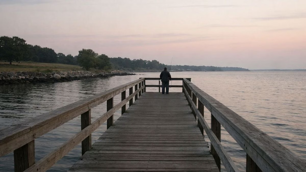
The park entrance is a small traffic circle in the north-east corner, just inside Asylum Road. From the circle the main road loops west along the north shore. Along this stretch the map marks the boat ramp, with a universal-access symbol, then a scenic overlook with parking where Mill Gut opens to the bay. Keep going west and you reach the north-west corner of the park and the fishing area, again marked for universal access, with parking alongside.
Area 3: Sites 80–84
Area 3 is the first picnic area you reach, on a loop road just south of the entrance circle and east of Mill Gut. The map shows picnic sites 80 to 84, a restroom building, a picnic shelter and a parking lot. A road from here continues south-east to Poppasquash Road, where the map marks another lot.
Area 2: The Centre of the Park
Area 2 is the large lawn between the north shore and the park office. It holds the most picnic sites: 33–40 at the north end, 20–32 and 50–55 further south. The map places the chapel here, along with a picnic shelter, a restroom building, three playing-field symbols and several parking lots. The park office sits at the south-east corner of Area 2, with its own small lot, right next to the boundary with Coggeshall Farm Museum. The Chapel by the Sea page covers ceremonies there.
Area 1: The West Shore
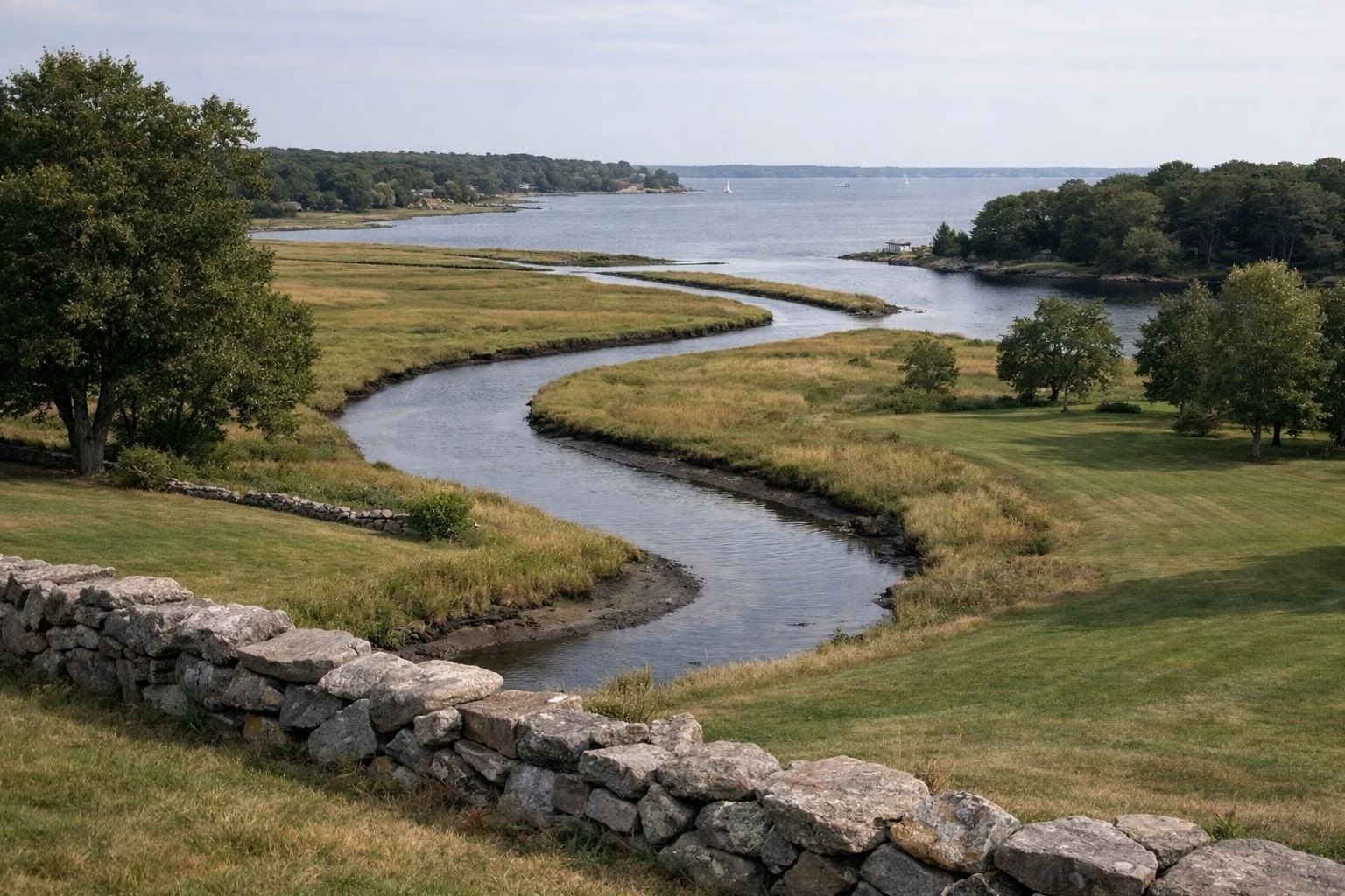
Area 1 follows the bay along the park's western edge. The map shows picnic sites 1–16 and 17–19, a restroom building, a picnic shelter, parking, and a second scenic overlook. DEM notes that many of Colt's picnic sites have a view of the ocean.
Mill Gut, Coggeshall and the South End
Mill Gut is the tidal inlet that splits the park down the middle, edged with marsh. DEM's history says families once came to dig clams and quahogs in "the Mill." South of the picnic areas, the map labels a large open area "Workout Area / XC Trails," and DEM's park page notes that winter snow brings cross-country skiing and snowshoeing. Coggeshall Farm Museum fills the south-east part of the old estate; it has its own entrance from Poppasquash Road. See Coggeshall Farm.
The Legend, Symbol by Symbol
- Boat ramp / universal access: the state-owned concrete ramp on the north shore
- Fishing / universal access: the accessible fishing pier in the north-west corner
- Chapel: the open-air Chapel by the Sea in Area 2
- Office: the park office at the south end of Area 2
- Parking: lots at every area, the office, the overlooks, the ramp and the fishing pier
- Picnic shelter, picnic tables, restrooms: in each of Areas 1, 2 and 3
- Playing field: in Area 2
- Scenic overlook: on the north shore and the west shore
- Beach: listed in the legend, but no beach symbol is placed on the map itself
A Note on Site Numbers
DEM warns that the locations of some picnic sites at Colt changed as of 2020, and advises checking the site you want in person before reserving it. Treat the numbers on the map as a guide, not a guarantee. DEM's rental page counts 51 multi-table picnic sites and 3 covered shelters in all. The picnic areas guide explains how to book one.
Where to Get the Map
The map is linked from DEM's Colt State Park page on riparks.ri.gov. It is a four-page PDF: the park map, plus pages showing how the picnic tables are numbered in each area. Save it to your phone before you go; the park itself is easy to navigate, but the site numbers are hard to match without it.
Paths on the Map
DEM says the park has four miles of paved paths. On the map the paved multi-use path loops around the outside of Areas 1 and 2 and runs along the north shore toward the entrance and the East Bay Bike Path. Gravel paths cross the interior lawns. The walking, biking and trails guide describes the routes.
Colt State Park Map FAQ
Is there a map of Colt State Park?
Yes. RI DEM publishes a free PDF map of Colt State Park on riparks.ri.gov. It shows the entrance, picnic Areas 1, 2 and 3 with their site numbers, parking, restrooms, shelters, the chapel, the boat ramp, the fishing pier and the paths.
Where are the restrooms at Colt State Park?
DEM's map shows a restroom building in each of the three picnic areas: Area 1 on the west shore, Area 2 in the middle of the park, and Area 3 near the entrance.
What is Mill Gut at Colt State Park?
Mill Gut is the tidal inlet in the middle of the park, between Area 2 and Area 3. It opens to Narragansett Bay on the north shore, where DEM's map marks a scenic overlook.
Which picnic area at Colt has the best water views?
Area 1, along the west shore, runs right beside Narragansett Bay, with sites 1–19 and a scenic overlook. Area 2's north end (sites 33–40) also sits near the water.
Facts checked against the RI DEM page for Colt State Park on October 18, 2026.