Walking, Biking & Trails
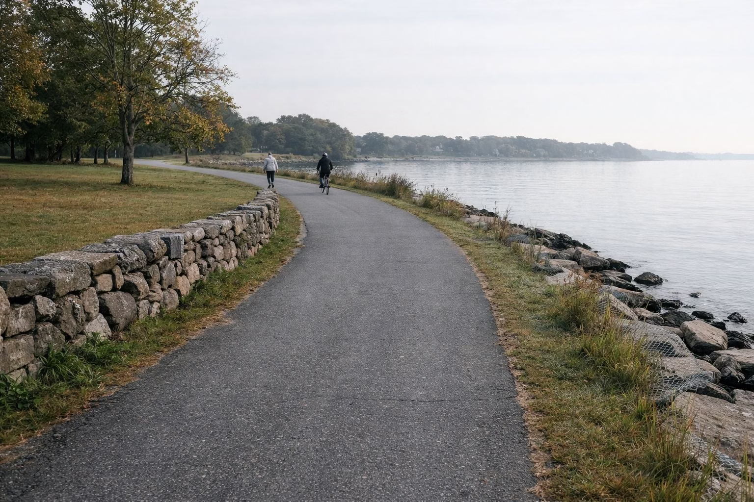
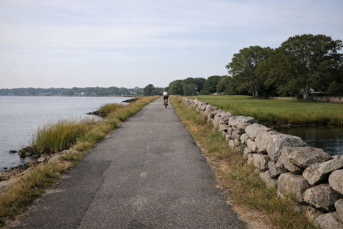
Colt State Park has four miles of paved paths, according to RI DEM, plus gravel paths, hiking trails and a cross-country trail area at the south end. The paths are mostly flat and run beside Narragansett Bay, which is why DEM lists the park for walking, running, biking, rollerblading and strollers. The East Bay Bike Path runs into the park, so you can ride on to Bristol Harbor or north toward Providence.
Paths at a Glance
The Paved Paths
DEM describes the park's paths as "four miles of paved pathways," and its history page calls them four miles of walking, jogging and bicycle trails. On DEM's map, the paved multi-use path loops around the outside of the big lawns of Areas 1 and 2 and follows the north shore toward the park entrance. The shore sections have open water on one side and lawn and stone walls on the other. There is no single named loop or posted distance for each section, so treat the four miles as the total and make your own route.
Walking and Running
Because the paths are paved and flat, Colt suits a long walk or an easy run. Wind off the bay is the main thing that makes it harder, since the west shore faces open water. DEM lists walking and running, hiking and birding among the park's experiences.
Strollers and Rollerblades
DEM specifically lists "stroller-friendly paths" and rollerblading at Colt. The paths are paved and mostly flat. Restrooms are in each of the three picnic areas (DEM map), so you are never far from one.
Biking Inside the Park
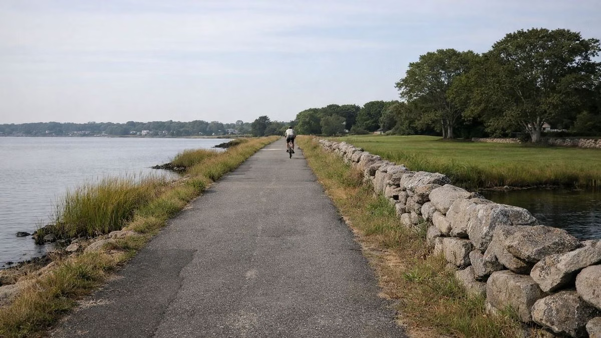
Bicycling is on DEM's list of things to do at Colt. The park's own paths are a gentle ride for children and beginners, and DEM notes that the park's bike trails intersect the East Bay Bike Path. State rules allow DEM's regional manager to ban bikes, e-bikes, scooters and skateboards in a park only after finding conditions unsafe and issuing an order, so watch for posted closures. Share the path: it is used by walkers, runners and strollers at the same time.
Connecting to the East Bay Bike Path
The East Bay Bike Path crosses the park's north-east corner, by the entrance road, according to DEM's map and history. Head north and the path runs through Warren, Barrington and East Providence to India Point Park in Providence. Head south and it ends at Independence Park on Bristol Harbor. DEM gives the path's length as 13.8 miles. The East Bay Bike Path guide covers the route, and the bike path parking guide lists every public lot.
Hiking Trails and Gravel Paths
Beyond the pavement, DEM lists hiking trails at Colt, and its map shows gravel paths crossing the inner lawns and a "Workout Area / XC Trails" zone at the south end of the park, below Area 1. These are short, easy walks rather than a trail system with names and blazes. State rules prohibit creating or marking new trails without written permission, so stay on the paths that are already there, especially near the salt marsh along Mill Gut.
Winter: Cross-Country Skiing and Snowshoeing
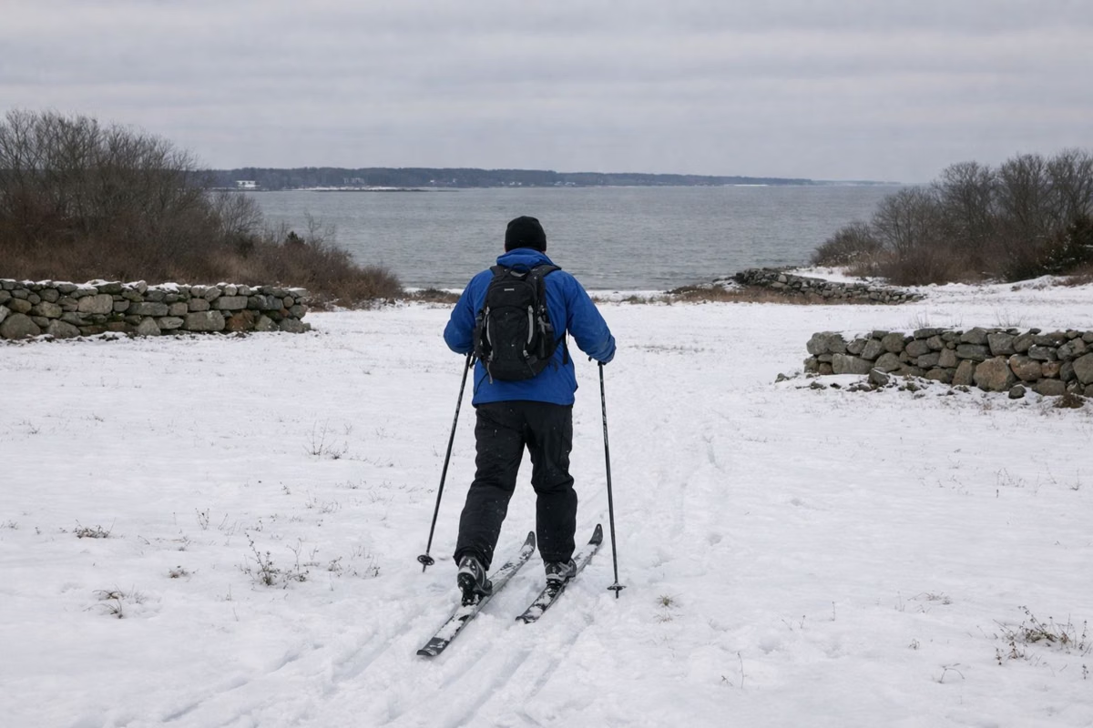
DEM's park page says winter snows offer "a rare seaside opportunity for cross-country skiers and snowshoers." The XC trails area on the map and the open lawns are the places to go after a storm. Remember that DEM does not clear snow from the East Bay Bike Path, and the park still closes at sunset, which comes early in winter.
Birding Along the Shore
Birding is one of the experiences DEM lists for Colt. The long open shoreline, the lawns and the marsh around Mill Gut give you water, grass and marsh edge in a short walk. Bring binoculars and walk the north shore toward the overlook at the mouth of Mill Gut.
Dogs on the Paths
Dogs are welcome on the paths on a leash no longer than six feet, under control at all times, and owners must clean up after them. The dogs page has the full rules, including where dogs are not allowed nearby.
Before You Go
Park in any of the free lots (parking guide), check sunset on the hours page, and use the park map to plan a loop.
Walking, Biking & Trails FAQ
How many miles of trails are at Colt State Park?
RI DEM says Colt State Park has four miles of paved paths. There are also gravel paths, short hiking trails and a cross-country trail area at the south end of the park.
Can you bike at Colt State Park?
Yes. DEM lists bicycling at Colt, and the park's paved paths connect to the East Bay Bike Path, which runs 13.8 miles between Bristol and Providence according to DEM.
Is Colt State Park good for strollers?
Yes. DEM lists stroller-friendly paths at Colt. The four miles of paved paths are flat, and restrooms are in each of the three picnic areas.
Can you cross-country ski at Colt State Park?
Yes, when there is snow. DEM says winter snows offer a rare seaside chance for cross-country skiing and snowshoeing, and its map marks an XC trails area at the south end of the park.
Is the East Bay Bike Path inside Colt State Park?
It passes through the north-east corner of the park by the entrance road, and DEM says the park's own bike trails intersect it.
Facts checked against the RI DEM page for Colt State Park on October 18, 2026.