East Bay Bike Path
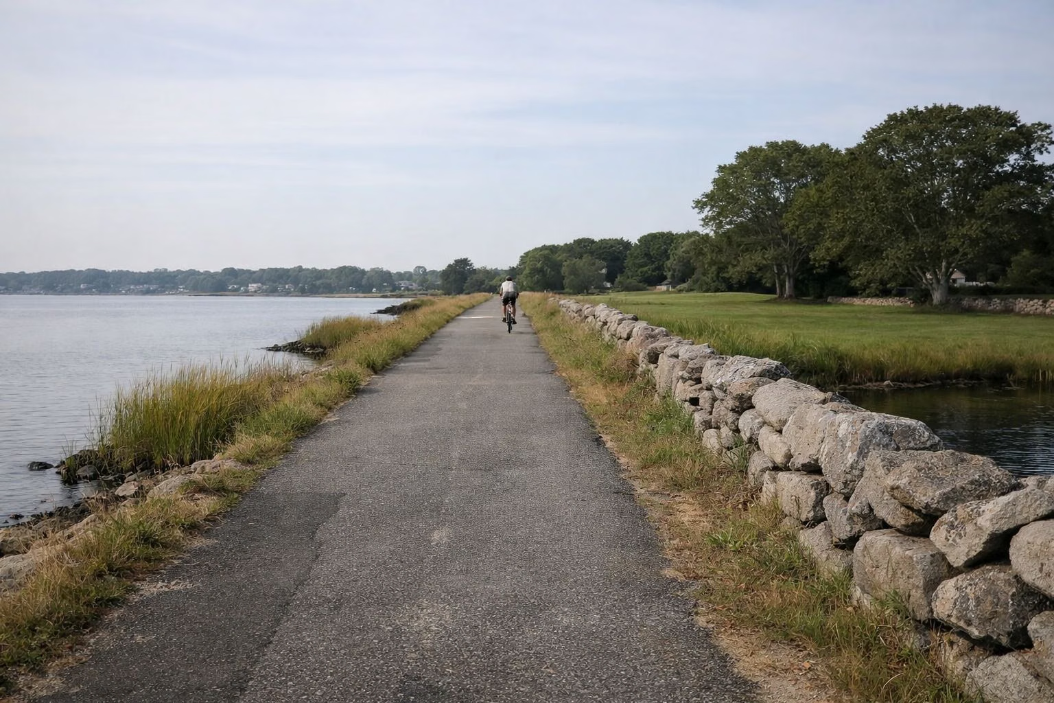
The East Bay Bike Path is a paved, 10-foot-wide path that runs from India Point Park in Providence to Independence Park on Bristol Harbor, along the old Providence and Bristol Railroad. RI DEM gives its length as 13.8 miles; RIDOT, which built it between 1987 and 1992, gives 14.5 miles. It is mostly flat, open sunrise to sunset all year, and passes through eight parks, including Colt State Park in Bristol.
The Bike Path at a Glance
How Long Is the East Bay Bike Path?
You will see two numbers. DEM's page says the path "encompasses 13.8 miles" and lists the four phases it was built in: Riverside Square to County Road in Barrington (4.17 miles), County Road to Franklin Street in Warren (2.38 miles), Franklin Street to Independence Park in Bristol (3.87 miles) and Riverside Square to India Point Park in Providence (3.98 miles). Those add up to 14.4 miles. RIDOT's bike path page gives 14.5 miles end to end. The difference is how the ends are counted; plan on about 14 miles each way, or 28 for a round trip.
The Route, North to South
RIDOT's own walk-through of the path, condensed:
- India Point Park, Providence. The path starts by crossing the Washington Bridge into East Providence. That bridge section was rebuilt in 2015 and dedicated as the George Redman Linear Park, with a separate bikeway and walkway.
- Veterans Memorial Parkway, East Providence. The path runs beside the parkway, climbs, then drops down a steep hill to the old rail line along the Providence River. RIDOT calls this one of the most scenic sections, and warns of strong head winds on the causeway.
- Squantum Woods and Riverside. After Squantum Woods Park, a long tunnel takes you under Bullocks Point Avenue to Riverside Square, the first stop for water, food and restrooms.
- Haines Memorial State Park, East Providence and Barrington. The path passes through Haines, with picnic areas and water access. A short detour off Crescent View Avenue leads to Crescent Park's 1895 Looff carousel.
- Barrington and Warren. Interpretive signs mark historic sites, and shops and restaurants sit close to the path near County Road and in Warren around Market and Child Streets.
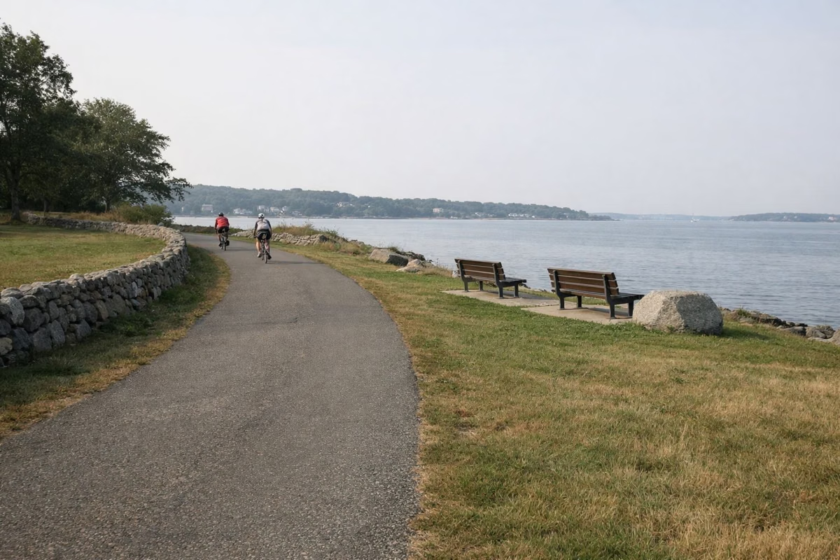
- Toward Bristol. The path gets quieter, with views of Narragansett Bay. The Audubon Society of Rhode Island's boardwalk leads to the water's edge, and a path climbs to its nature center.
- Colt State Park and Independence Park, Bristol. DEM's history notes the path crosses the entrance road to Colt State Park, then ends at Independence Park on Bristol Harbor, where Hope and Thames Streets meet.
Bridges in Barrington and Warren
The two old rail bridges over the Barrington and Palmer rivers date to the 1880s and were closed in 2019 because they were badly deteriorated, according to RIDOT. During the closure, riders used temporary path segments RIDOT built to keep the route continuous. RIDOT replaced them with prefabricated truss bridges about 300 feet long and 14 feet wide. The state announced the new bridges complete on April 6, 2026: a $25.9 million project that restores a continuous 14.5-mile path from Providence to Bristol, with a fishing pier on the Barrington bridge (Police Cove Park side) and a fishing overlook at the Sowams Road end of the Warren bridge.
Is It Flat?
Mostly. RIDOT says the path is mostly flat, with one large hill in East Providence where the path leaves Veterans Memorial Parkway and drops to the old rail bed. Riding south, that is a fast descent; riding back north, it is the one real climb of the day.
Who Can Use It
DEM lists biking and jogging on the path, and RIDOT notes it is popular with commuters riding into Providence. Walkers, runners, strollers and skaters share it with bikes. Keep right, pass on the left with a call or a bell, and keep dogs on a short leash.
Hours and Winter
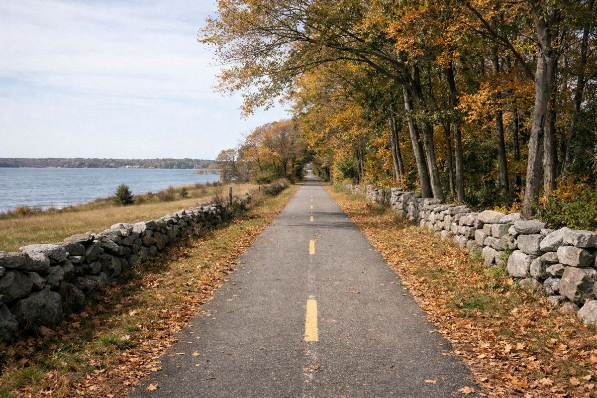
DEM says the path is open year round, sunrise to sunset, and that it does not offer snow removal. After a storm, expect snow and ice until it melts.
Where It Meets Colt State Park
In Bristol the path crosses the park's entrance road in the north-east corner of the park, and DEM notes that Colt's own bike trails intersect it. That makes Colt an easy stop for water, restrooms and a picnic table before the last stretch into town. See walking, biking and trails for the park's four miles of paved paths.
Independence Park: the South End
Independence Park, on Bristol Harbor where Hope and Thames Streets meet, is the end of the line. DEM's history notes the ferry landing for Prudence Island is nearby, and DEM describes the area as the entrance to the Bristol Waterfront Historic District, filled with museums, restaurants and shops. Bristol's Fourth of July concerts are held at Independence Park in the weeks before the Fourth, according to the parade committee.
Who to Call
DEM's page lists the Colt State Park office, (401) 253-7482, as the contact for the bike path. RIDOT lists DEM's Division of Parks and Recreation at (401) 667-6200 for maintenance questions.
Parking
RIDOT lists 11 public parking spots along the path, from India Point Park to Independence Park, including Colt State Park. The East Bay Bike Path parking guide has each one, plus Colt State Park's free lots.
East Bay Bike Path FAQ
How long is the East Bay Bike Path?
RI DEM gives the East Bay Bike Path as 13.8 miles, and RIDOT gives 14.5 miles from India Point Park in Providence to Independence Park in Bristol. Plan on about 14 miles each way.
Where does the East Bay Bike Path start and end?
It runs between India Point Park in Providence and Independence Park on Bristol Harbor, passing through East Providence, Barrington and Warren on the way.
Is the East Bay Bike Path flat?
Mostly. RIDOT describes it as mostly flat, with one large hill in East Providence where the path drops from Veterans Memorial Parkway to the old rail line.
Are the Barrington bike path bridges open?
Yes. The two 1880s bridges over the Barrington and Palmer rivers closed in 2019. RIDOT replaced them, and the state announced the new bridges complete on April 6, 2026.
Is the East Bay Bike Path open in winter?
Yes, sunrise to sunset year round, but DEM says the path gets no snow removal.
Facts checked against the RI DEM page for Colt State Park on October 18, 2026.