Area 3 Lot
Area 3, just inside the park entrance, Bristol, RI
- Area 3, by the entrance
- Free, no entry fee
- Sunrise to sunset
Starts here: Picnic sites 80–84 and shelter
Get directionsto Area 3 Lot (opens in new tab)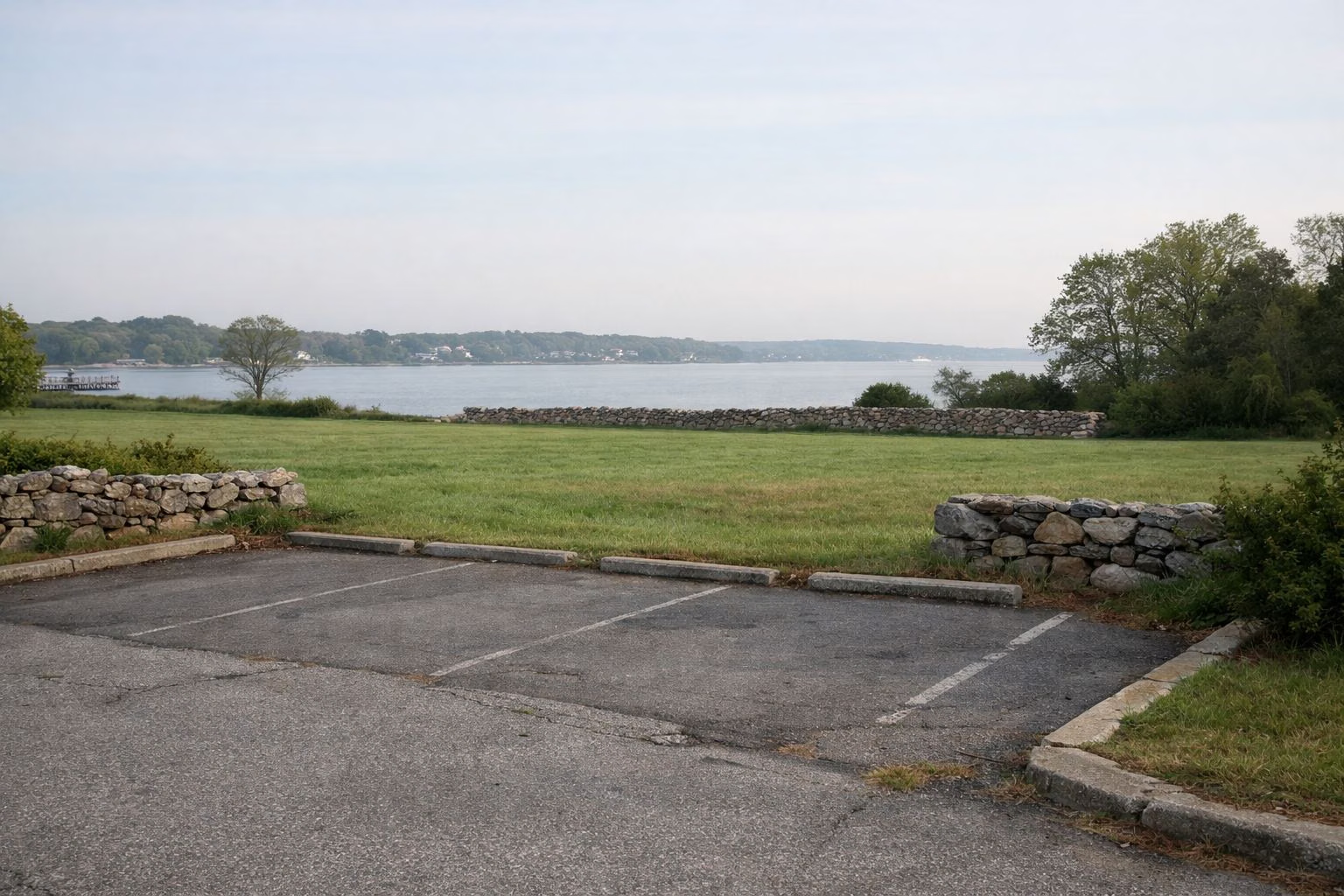
Parking at Colt State Park is free. RI DEM charges no entry fee, and its park map shows parking lots spread through the park: beside each of the three picnic areas, at the park office, at the scenic overlooks on the shore road, at the boat ramp and at the fishing pier. The park's address is Hope Street (Route 114), Bristol, RI 02809, and it is open sunrise to sunset every day of the year.
Area 3, just inside the park entrance, Bristol, RI
Starts here: Picnic sites 80–84 and shelter
Get directionsto Area 3 Lot (opens in new tab)Where the park road meets Poppasquash Road, Bristol, RI
Starts here: Gravel path to Area 3
Get directionsto Poppasquash Road Lot (opens in new tab)North shore road, at the mouth of Mill Gut, Bristol, RI
Starts here: Scenic overlook, Paved multi-use path
Get directionsto Mill Gut Scenic Overlook (opens in new tab)North-west corner of the park, top of Area 2, Bristol, RI
Starts here: Accessible fishing pier
Get directionsto Fishing Pier Lot (opens in new tab)Sources: RI DEM Colt State Park map (opens in new tab) · RI DEM Colt State Park page (opens in new tab)
Area 2, centre of the park, Bristol, RI
Starts here: Picnic sites 20–40 and 50–55, Chapel by the Sea, Playing fields
Get directionsto Area 2 Lots (opens in new tab)South end of Area 2, beside Coggeshall Farm Museum, Bristol, RI
Starts here: Park office
Get directionsto Park Office Lot (opens in new tab)West shore, between Area 1 and Area 2, Bristol, RI
Starts here: Scenic overlook, Picnic sites 1–16
Get directionsto Area 1 Scenic Overlook (opens in new tab)Area 1, west shore, Bristol, RI
Starts here: Picnic sites 1–19 and shelter, Workout area and XC trails
Get directionsto Area 1 Lots (opens in new tab)Get directions opens Google Maps in a new tab. RI DEM's park map marks these lots but publishes no GPS pins or space counts, so each button goes to the park's address on Hope Street (Route 114).
Road distance and drive time from the nearest big cities, with short directions from each.
| From | Miles | Drive (typical, no traffic) |
|---|---|---|
| Providence | 16 | 28 min |
| Worcester | 56 | 1 hr 15 min |
| Boston | 61 | 1 hr 24 min |
Each drive ends at the park entrance circle off Asylum Road, next to the Area 3 lot. Road distance and drive time from OpenStreetMap routing (OSRM), checked November 6, 2026. Drive times are typical, with no traffic.
Starts at Providence City Hall. 16 miles, 28 min (typical, no traffic).
Starts at Worcester City Hall. 56 miles, 1 hr 15 min (typical, no traffic).
Starts at Boston City Hall. 61 miles, 1 hr 24 min (typical, no traffic).
DEM gives the park's address as Hope Street (Route 114) in Bristol. On DEM's map the entrance is at a small traffic circle in the north-east corner of the park, just inside Asylum Road and a short way from where the East Bay Bike Path crosses into the park. From the circle, one paved road runs west along the north shore toward the boat ramp, the overlooks and the big picnic lawns, and another runs south to Area 3 and the Poppasquash Road side. The park office phone is (401) 253-7482 if you need directions on the day.
DEM's map marks a parking symbol beside almost everything you might come for, so you rarely walk far from the car. Use the park map to match a lot to the picnic site numbers on your permit.
Colt is one of the parks the East Bay Bike Path links, and DEM notes that the park's own paved paths meet it. If you are riding the whole path, RIDOT lists the path's public parking spots from India Point Park in Providence to Independence Park in Bristol, including Colt; the East Bay Bike Path parking guide lists each one and what is near it. Colt makes a good place to start or finish a ride: its lots are free, and the path continues south from the park to Independence Park on Bristol Harbor.
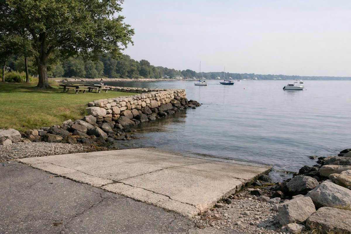
DEM lists Colt State Park as public boat launching site 22: a state-owned and operated concrete ramp off Hope Street (Route 114), with 4 feet of water at mean low tide. The map places it on the north shore, west of the entrance, with a universal-access symbol and its own parking. See fishing and boating for the pier and the kayak launch.
Coggeshall Farm Museum sits inside the old Colt estate, but its visitor parking is not in the state park lots. The museum says its lot is a field marked by signs and can only be reached from the Poppasquash Road entrance. If you are going to the farm, follow the museum's directions in the Coggeshall Farm guide.
The Town of Bristol's beach and sports complex is next door on Asylum Road, and it is not part of the state park. The town charges a parking fee there from Memorial Day weekend through Labor Day weekend and locks its gates at sunset. If you parked at the town beach, you paid the town; Colt's own lots are free. The Bristol Town Beach page has the town's rates.
Bristol's Fourth of July parade closes Hope Street and High Street (Route 114), including Poppasquash Road, from 8 a.m. on the Fourth, and the committee announces a parking ban along the route the night before. If you want to use Colt on July 4, arrive before the closures or expect detours. The parade guide covers the route and timing.
State park rules do not allow people or vehicles inside a state park between sunset and sunrise without written permission. Plan to be back at your car before dark, especially in winter when sunset comes early. The hours page has the details.
DEM's map marks both the boat ramp and the fishing pier with universal-access symbols, and each has parking beside it. DEM lists the park's four miles of paved paths as stroller-friendly. The plan your visit page collects the accessibility details.
Yes. RI DEM's map for Colt State Park says "No Fee for Entry," and there is no parking charge at the state park's lots. The only fees are for reserved picnic tables, shelters, fields and the chapel, from April to October.
DEM lists the park at Hope Street (Route 114), Bristol, RI 02809. The entrance is at a small traffic circle in the north-east corner of the park, near Asylum Road and the East Bay Bike Path.
DEM's map shows a parking lot right beside the universal-access fishing area at the north-west corner of the park, at the top of Area 2. Follow the shore road west from the entrance.
No. Rhode Island's state park rules do not allow people or vehicles in a state park between sunset and sunrise without official written permission.
No. The town beach next door on Asylum Road is run by the Town of Bristol, which charges a parking fee from Memorial Day weekend to Labor Day weekend. Colt State Park's lots are free.
Facts checked against the RI DEM page for Colt State Park on October 18, 2026.